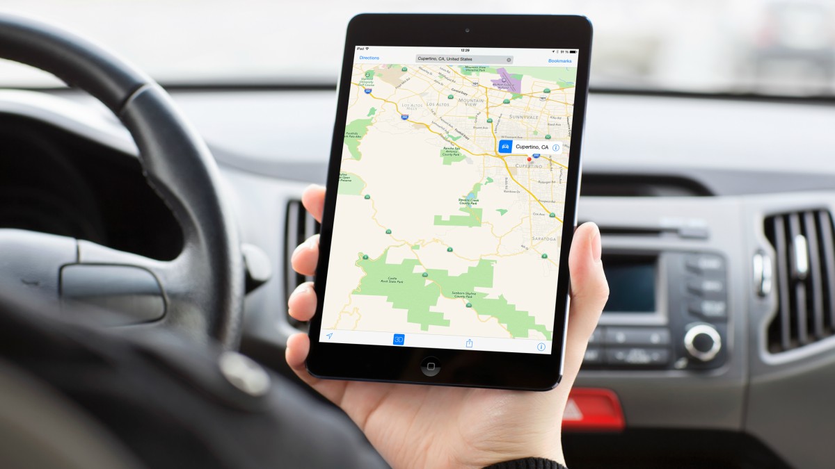
Apple Maps is far from Apple’s most popular app. In fact, it tends to be outright deleted or ignored while users turn to third-party apps like Waze or even Google Maps.
We understand the lack of love for the app — to a degree. Some apps have some pretty crazy features! Tap or click here to learn about navigation apps with celebrity voices. But there are plenty of perks in Apple Maps; they’re just not that well-known.
Here are a few tricks to get the most from the iOS app. Let’s begin by talking about touring cities using a special feature called Flyover.
1. Tour a city before you get there
Interested in traveling to a major city? Get the lay of the land first with Flyover mode.
Search for a city, then tap the Flyover or the Flyover Tour button that appears on the info card. It won’t be available for all locations, but large cities generally have the option.
Once you tap it, you’ll be taken to a 3D, overhead view of the city. You can move your phone around to look at your surroundings, or slide your finger around to travel and find major landmarks.
Flyover will even take you on a tour if you just let it run without interfering, or simply tap the Start City Tour button. Use this to see places you might like to visit and figure out if they’re near each other so you can better plan your next trip.
2. See where you’re going from all angles
Maybe you’d like a three-dimensional view of more places so you can know in advance if a walk is going to be especially strenuous. Lucky for you, Apple Maps has a 3D viewing mode.
You can see a 3D map with a button in the top right corner. Just tap that 2D/3D button when you’re zoomed in enough to see building outlines and your view will suddenly angle, revealing how tall those buildings are. To exit this view, simply tap the 2D button.
Continue reading →


